A 112F Heat Index Makes Texas More Dangerous Than the Thermometer Suggests
Texas faces dangerous triple-digit heat, with Houston heat-index readings forecast as high as 112F and extreme heat warnings around Dallas.
Commentary & Analysis ·
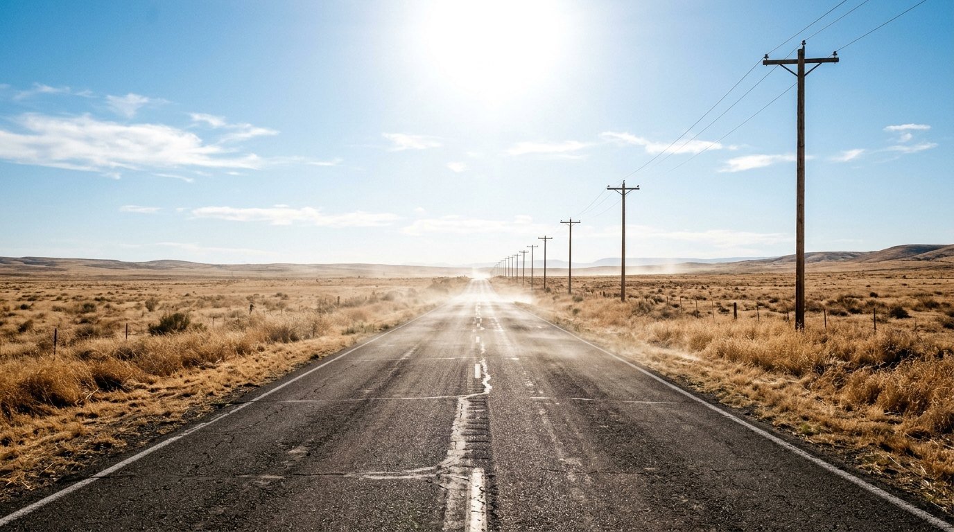
Ask anyone in Houston whether 102F sounds survivable and they will point at the humidity. The Texas heat index 112F figure is the number emergency planners actually watch. It describes the heat your body cannot shed.
Verified key facts
- National Weather Service Houston/Galveston: Heat-index values of 106F-112F were expected across parts of southeast Texas under a heat advisory through Sunday.
- National Weather Service Fort Worth: Dallas and surrounding counties were under an extreme heat warning, with temperatures and heat-index values around 105F-108F.
- KERA/Houston Public Media: Much of Texas from the Panhandle to the Gulf Coast was forecast to reach 100F or higher during the late-August heat wave.
- NWS Houston: Houston forecasts called for highs around 100F-101F with overnight lows near 81F, limiting nighttime recovery.
- NWS Austin/San Antonio: Austin faced highs around 104F-105F with heat-index values near 108F and continuing heat advisories.
Why is the Texas heat index 112F more important than the thermometer?
If your phone says 102F, you may think 112F sounds like exaggeration. It is not. The Texas heat index 112F figure describes how hot the air feels to the human body when humidity limits the evaporation of sweat, the cooling mechanism on which you depend in extreme heat. National Weather Service Houston/Galveston forecasts put peak heat-index values across parts of southeast Texas between 106F and 112F even when actual air temperatures were closer to 100F. That gap is why meteorologists issue heat advisories around apparent temperature rather than relying on the thermometer alone. Your body responds to the combined heat-and-moisture load, not to one instrument reading.
Why is Houston more dangerous at 100F than a drier city can be at 105F?
Humidity changes the physics of cooling. Sweat must evaporate from skin to remove heat; when the air already contains a great deal of moisture, evaporation slows. Houston's Gulf-influenced air can therefore produce a heat index much higher than the measured temperature. By contrast, parts of west or north Texas may record a higher thermometer reading with lower humidity and a smaller apparent-temperature premium. That does not make dry heat safe—dehydration can be rapid—but it changes the dominant stress. The Houston/Galveston office warned of 106F-112F apparent temperatures because the combination of heat and humidity raises the risk of heat exhaustion and heat stroke during ordinary outdoor activity.
What is happening in Dallas and North Texas?
Dallas is dealing with a different but still severe profile. National Weather Service Fort Worth forecasts put the city around 105F on Saturday, with an extreme heat warning and heat-index values up to about 108F. Overnight temperatures near 81F-83F provide little recovery for people without reliable air conditioning and for buildings that store daytime heat. The office also expected triple-digit heat to persist into the following days. Repeated exposure matters: a single very hot afternoon can be dangerous, but several hot days and warm nights compound physiological stress, increase electricity demand and raise the risk that vulnerable residents begin the next day already dehydrated or overheated.
Why are warm nights a separate health problem?
Bodies and buildings normally shed accumulated heat after sunset. When overnight lows remain in the low 80s, that reset is incomplete. People sleeping without air conditioning can maintain elevated core temperatures, while apartments with poor ventilation may remain warmer indoors than official outdoor readings suggest. Houston and Dallas forecasts both showed nights near or above 80F during the event. Public-health research consistently finds that warm nights add to mortality risk during heat waves because exposure becomes continuous. The problem is especially acute for older people, infants, outdoor workers and anyone taking medicines that affect hydration or temperature regulation. Nighttime minimums deserve the same attention as the dramatic afternoon maximum.
How does the National Weather Service decide between an advisory and a warning?
Weather offices use local thresholds because a dangerous heat level in one climate may be more common in another. An advisory signals conditions capable of causing heat illness with prolonged exposure or strenuous activity; an extreme heat warning indicates a more serious and often more widespread threat. Dallas-area counties were placed under an extreme heat warning, while Houston was under a heat advisory as apparent temperatures climbed. The labels should not be read as a ranking between cities. A Houston heat index of 110F can be medically dangerous even under an advisory. The correct response is to follow local guidance, reduce strenuous afternoon activity, hydrate and ensure access to cooling.
Which parts of Texas are being hit beyond Houston and Dallas?
KERA and Houston Public Media reported triple-digit forecasts across much of the state, from the Panhandle through central Texas and down towards Corpus Christi. Austin faced highs around 104F-105F and heat-index readings near 108F, while San Antonio was also under heat advisories. The broad footprint strains the grid because cooling demand rises across multiple metropolitan regions at once. It also affects road crews, construction sites, agriculture and school athletics. Local conditions still vary sharply: coastal humidity, urban heat islands, elevation and cloud cover can change the actual risk from one neighbourhood to another. Statewide maps identify the event; local forecasts determine the safest timing for activity.
How long will the 106F-112F southeast Texas heat last?
The key near-term marker is the duration of the Houston-area advisory and whether the National Weather Service extends it beyond Sunday. Forecast discussions already suggested dangerous heat could persist into the following week as high pressure remains dominant. A small drop from 112F to 106F on the heat index is not a return to normal; it is still hazardous, particularly with warm nights. Residents should focus on the sequence of daily maximum and minimum temperatures, humidity and official warning periods rather than a single record. The event will meaningfully ease only when daytime highs fall, overnight temperatures recover and the apparent-temperature peak drops below local danger thresholds for more than a few hours. Meteorologists have other heat metrics too, including the Wet Bulb Globe Temperature used for outdoor work and athletics because it factors in radiation, wind and humidity. The public heat index is simpler and is calculated for shaded conditions, meaning direct sun can make the body feel hotter still. Urban surfaces add another layer by storing daytime heat and releasing it overnight. That is why a Dallas low near 81F is not just an uncomfortable footnote to a 105F afternoon: warm nights reduce the body's opportunity to recover, especially for people without reliable air conditioning. A multi-day episode is therefore judged by accumulated exposure, not only by the single highest thermometer reading.
Sources
- National Weather Service Houston/Galveston - heat forecasts (www.weather.gov)
- National Weather Service - Houston forecast (forecast.weather.gov)
- National Weather Service - Dallas forecast (forecast.weather.gov)
- KERA/Houston Public Media - Texas triple-digit heat (www.keranews.org)
- Houston Chronicle - heat advisory and apparent temperatures (www.houstonchronicle.com)
- Note: Heat advisories and forecasts are updated frequently. Readers should use their local NWS office for current warning times and temperatures.
You may also like to read
Texas Hill Country Faces Flash Flood Emergency a Year After Its Deadliest Deluge
A flash flood emergency covers Kerr County and Uvalde as torrential rain returns to the Texas Hill Country a year after floods that killed more than 130.
Northwest Indiana Is Still Without Power. Why Is Recovery Taking So Long?
Northwest Indiana entered a second week of outages after the 11 August storm, disrupting food, schools, communications and daily life across Gary.
Canadian Wildfire Smoke Chokes the US Northeast as 2026 Fire Season Intensifies
Smoke from hundreds of Canadian wildfires has pushed air quality alerts across the US Northeast and Mid-Atlantic, exposing over 115 million people to bad air.
Alisa Goods Was Found Near Las Vegas Airport. How Did the Search Miss Her?
Police say surveillance shows Alisa Goods fell near Las Vegas airport and later collapsed, while mystery texts were likely sent by spoofing scammers.