Tropical Storm Cristobal Forms as the Atlantic Season Stirs With Three Systems to Watch
The season's third named storm spun up over the central Atlantic as forecasters gave a tropical wave near Cabo Verde an 80% chance of development, with Tropical Storm Dolly potentially days away.
Commentary & Analysis ·
Verified key facts
- Tropical Storm Cristobal formed over the central subtropical Atlantic on 12 August, located near 36.7N 43.0W with maximum sustained winds near 45 mph, per the National Hurricane Center.
- Slow weakening was forecast, with Cristobal expected to dissipate by Thursday without threatening land.
- The NHC was simultaneously monitoring three areas across the Atlantic basin, including a tropical wave about 900 miles west-southwest of the Cabo Verde Islands.
- That wave was given an 80% chance of forming a tropical depression within 48 hours as it moved westward through favourable conditions.
- Forecasters noted the next system would likely become Tropical Storm Dolly, days after Cristobal's formation, as the season approaches its climatological peak.
The Atlantic wakes up
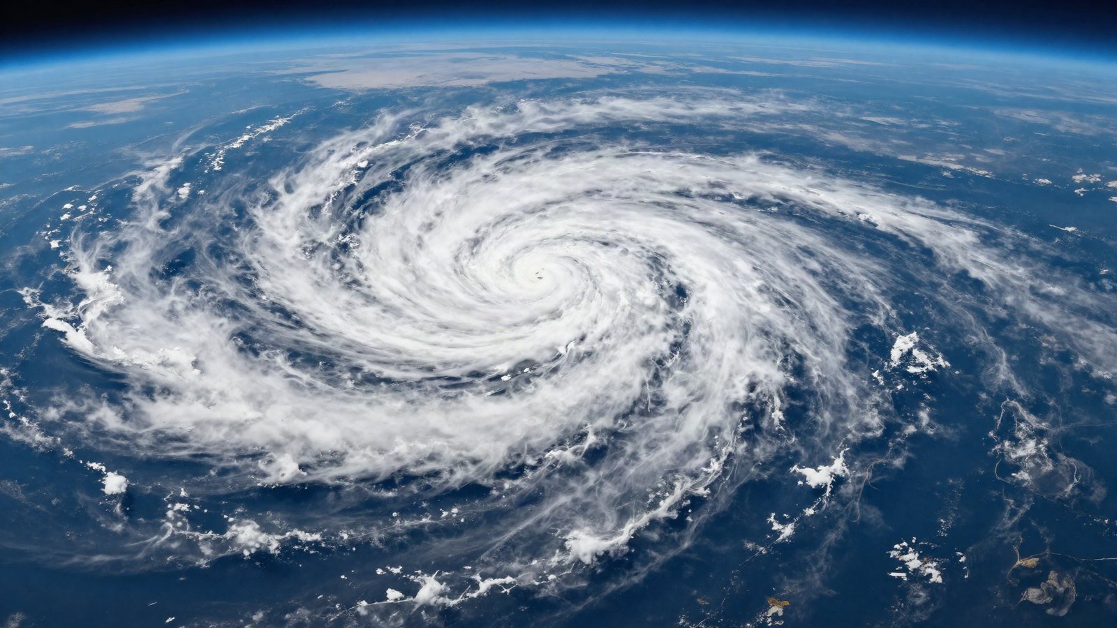
The 2026 Atlantic hurricane season announced its August arrival on Wednesday, when Tropical Storm Cristobal organised over the central subtropical Atlantic. The National Hurricane Center placed the storm near 36.7 North, 43.0 West, far from any coastline, with maximum sustained winds near 45 miles per hour and higher gusts.
Cristobal itself is a fish storm, forecast to weaken slowly and dissipate by Thursday over open water. Its significance is less its own track than its timing: the basin is stirring exactly on the climatological schedule that makes mid-August the start of the season's most dangerous stretch.
Three systems on the map
Behind Cristobal, the National Hurricane Center's outlook carried more consequential ink. Forecasters were monitoring three separate areas across the basin, led by an area of showers and thunderstorms associated with a tropical wave roughly 900 miles west-southwest of the Cabo Verde Islands.
That system drew an 80% chance of becoming a tropical depression within 48 hours, with environmental conditions, warm water and low shear, forecast to remain conducive as it tracks westward. The Weather Channel's coverage noted the next name on the list, Dolly, could be assigned within days.
Why the Cabo Verde wave matters more
Storms that form in the deep tropics off Africa in August are the ones that write hurricane history. They have thousands of miles of warm ocean ahead of them, time to intensify, and track possibilities that include the Caribbean and the US coastline. Subtropical systems like Cristobal, by contrast, usually spin harmlessly into cooler water.
Nothing about the wave's eventual track can be known this early, and forecasters stress that a two-day genesis forecast says nothing about landfall. But the pattern shift it represents, the opening of the Cabo Verde corridor, is the season's real headline.
The season so far
Cristobal is the third named storm of a season that pre-season outlooks, including Colorado State University's, expected to be active. A quiet early summer means little: the majority of Atlantic hurricane activity historically occurs between mid-August and mid-October, with the statistical peak around 10 September.
Water temperatures across the main development region remain above average, the ingredient that has supercharged recent seasons and the reason forecasters treat every August wave with respect.
What coastal residents should do now
The standing advice from emergency managers is unglamorous and unchanged: use the quiet weeks to check insurance documents, photograph property, refresh supply kits and learn evacuation zones, because preparation done before a watch is issued is worth double what is done after.
Forecast tools have improved, but the lead time they buy only matters to households that have a plan to execute.
The wider context
Every active Atlantic season now unfolds against the larger trend line: warmer oceans loading storms with more rain and enabling faster intensification close to shore. The US has already absorbed one climate-adjacent disaster summer, from Texas flash flooding to Canadian smoke episodes, and the hurricane season's peak arrives with federal disaster resources already stretched.
The Atlantic's August awakening is routine. The stakes it carries are not.
The ocean heat behind the pattern
The reason forecasters treat this particular mid-August with respect is written in the water. Sea-surface temperatures across the Atlantic's main development region have run above their long-term average all summer, and warm water is the fuel line of tropical meteorology: it powers genesis, sustains intensity and, most dangerously, enables the rapid intensification episodes that have repeatedly turned modest storms into major hurricanes within a day of landfall in recent seasons.
Pre-season outlooks, including Colorado State University's April forecast, flagged exactly this setup when they projected an above-normal year. A quiet June and July changed none of the underlying physics; it merely delayed the appointment. The Cabo Verde corridor opening on schedule, with three systems on the map at once, is the pattern those outlooks described beginning to express itself.
There is also a structural shift in how the warnings land. Forecast improvements mean the National Hurricane Center now issues genesis probabilities days before a storm has a name, and coastal emergency managers treat an 80% two-day figure as an operational trigger rather than a curiosity. The gap between meteorology and preparedness has never been narrower; what remains stubborn is the human tendency to wait for a cone that touches one's own county before acting.
Whether Dolly forms off Cabo Verde
The Cabo Verde system's organisation over the next two days will determine whether Dolly forms on schedule, and the following week will show whether the corridor stays open behind it.
From here to October, the map deserves a daily glance.
Sources
- National Hurricane Center - Atlantic Tropical Weather Outlook, August 12 2026
- News4Jax - Tropical Storm Cristobal forms
- Weather.com - Cristobal forms, Dolly could follow
- Colorado State University - 2026 seasonal forecast
You may also like to read
Historic Storm Batters Chile, Killing 13 and Cutting Power Widely
A powerful winter storm swept across Chile, killing at least 13 people, cutting power to hundreds of thousands and destroying homes.

Canadian Wildfire Smoke Chokes the US Northeast as 2026 Fire Season Intensifies
Smoke from hundreds of Canadian wildfires has pushed air quality alerts across the US Northeast and Mid-Atlantic, exposing over 115 million people to bad air.

ISRO Completes Three Key Gaganyaan Crew Module Tests
ISRO completes qualification of the Gaganyaan uprighting system, module disconnect and apex cover, clearing key recovery milestones before the uncrewed G1 flight.

Putin Warns Europe of Reciprocal Ship Seizures as the Shadow-Fleet Standoff Hardens
Speaking aboard a missile warship, the Russian leader said Moscow will start seizing European vessels if EU states keep detaining sanction-busting tankers, and claimed conflict potential in the Asia-Pacific is growing.